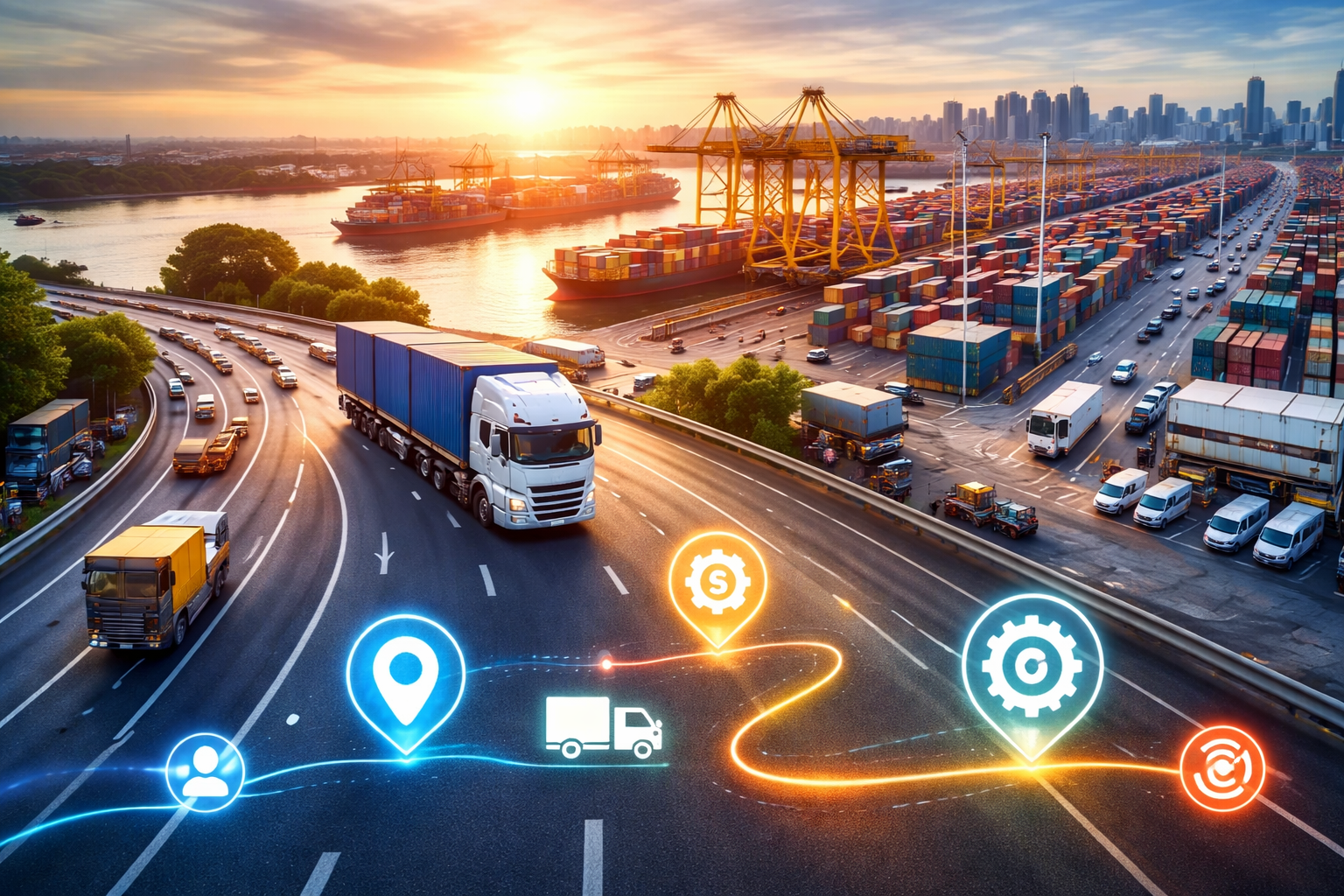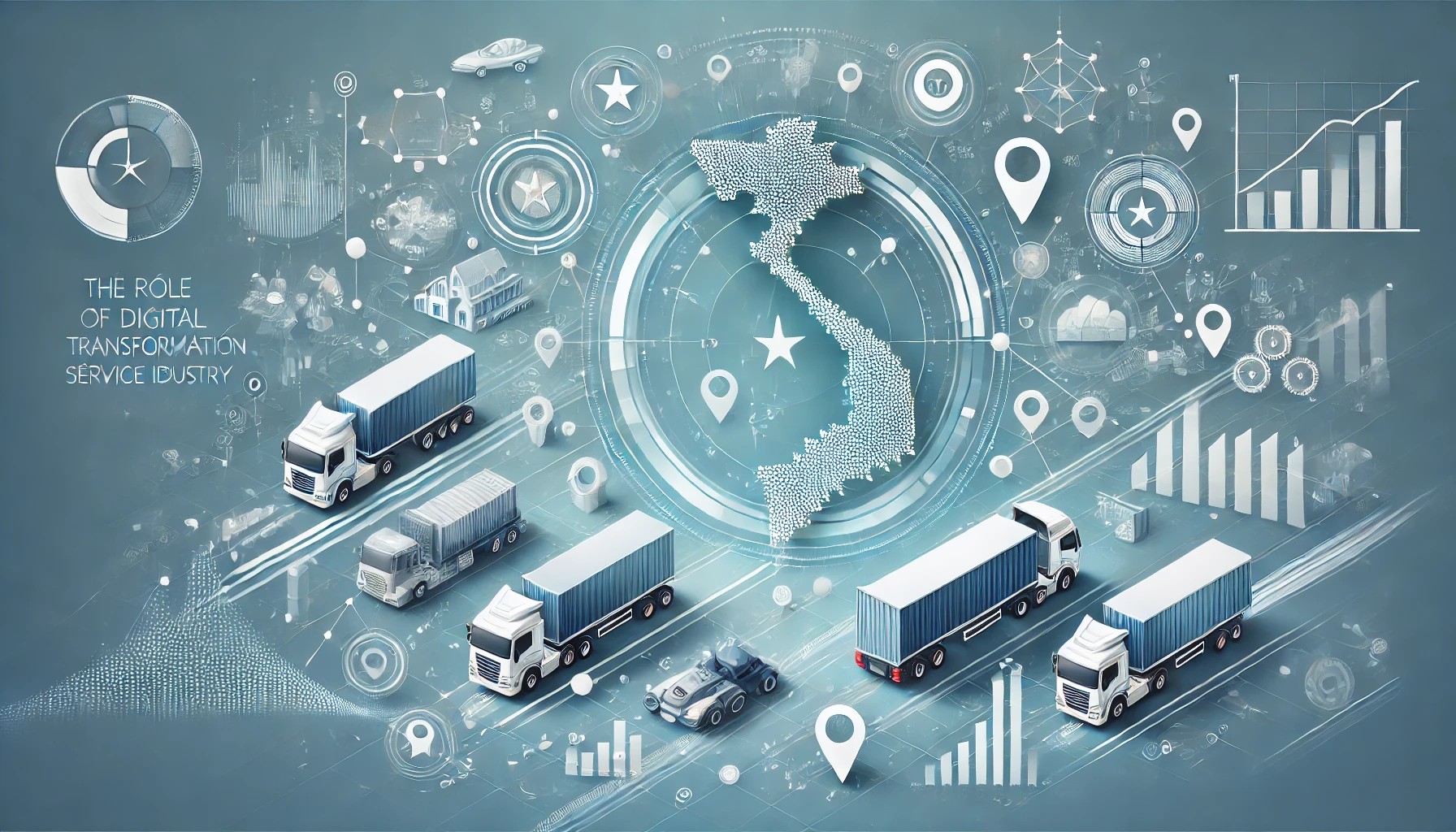
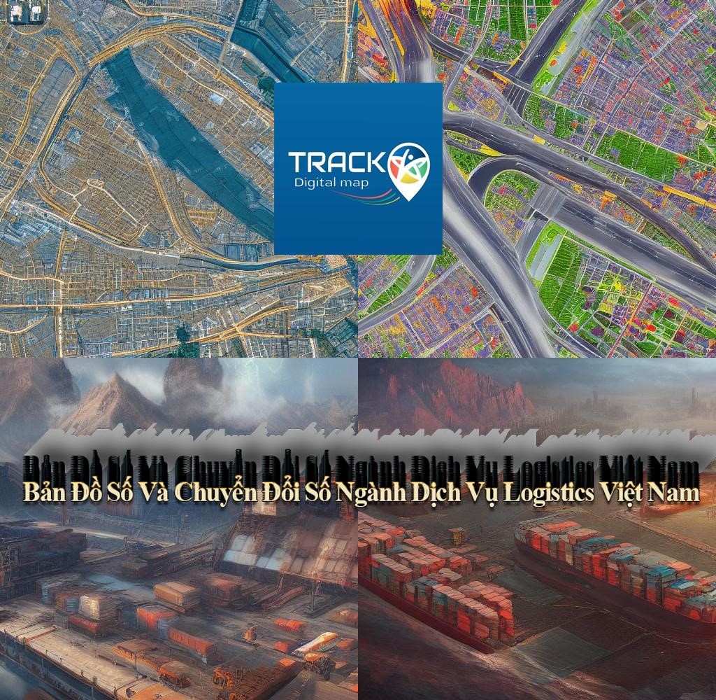
Vietnam's logistics service industry is undergoing a rapid digital transformation, driven by the increasing adoption of digital technologies such as artificial intelligence, big data, and the Internet of Things (IoT). Digital maps are playing a crucial role in this transformation by providing logistics service providers with the data and insights they need to improve efficiency, optimize operations, and deliver better customer service.
● Plan and optimize delivery routes: Digital maps can be used to identify the shortest and most efficient routes between delivery points, taking into account factors such as traffic congestion, road conditions, and weather. This can help logistics service providers save time and fuel, while also reducing their carbon emissions.
● Track shipments in real-time: Digital maps can be used to track shipments in real-time, providing logistics service providers with visibility of their goods' location at all times. This can help improve customer satisfaction by providing customers with updated delivery estimates.
● Manage warehouse operations: Digital maps can be used to manage warehouse operations, such as optimizing inventory locations and tracking the movement of goods. This can help improve warehouse efficiency and reduce costs.
● Provide customer service: Digital maps can be used to provide customer service, such as giving customers real-time delivery updates and allowing them to track their shipments online. This can help improve customer satisfaction and loyalty.
The use of digital maps is bringing several benefits to the logistics service industry in Vietnam, including:
● Increased efficiency: Digital maps can help logistics service providers enhance
efficiency by optimizing routes, tracking shipments in real-time, and
managing warehouse operations.
● Cost reduction: Digital maps can help logistics service providers reduce
costs by saving time and fuel, while also reducing the need for manual data
entry.
● Improved customer service: Digital maps can help logistics service
providers improve their customer service by providing customers with updated
delivery estimates and allowing them to track their shipments online.
The use of digital maps in the logistics service industry will only grow in the future. As digital technologies continue to evolve, we can expect to see even more innovative applications of digital maps in the logistics industry. For example, we may see the development of self-driving trucks using digital maps to navigate their routes. We may also see the development of drones using digital maps to deliver goods to remote locations.
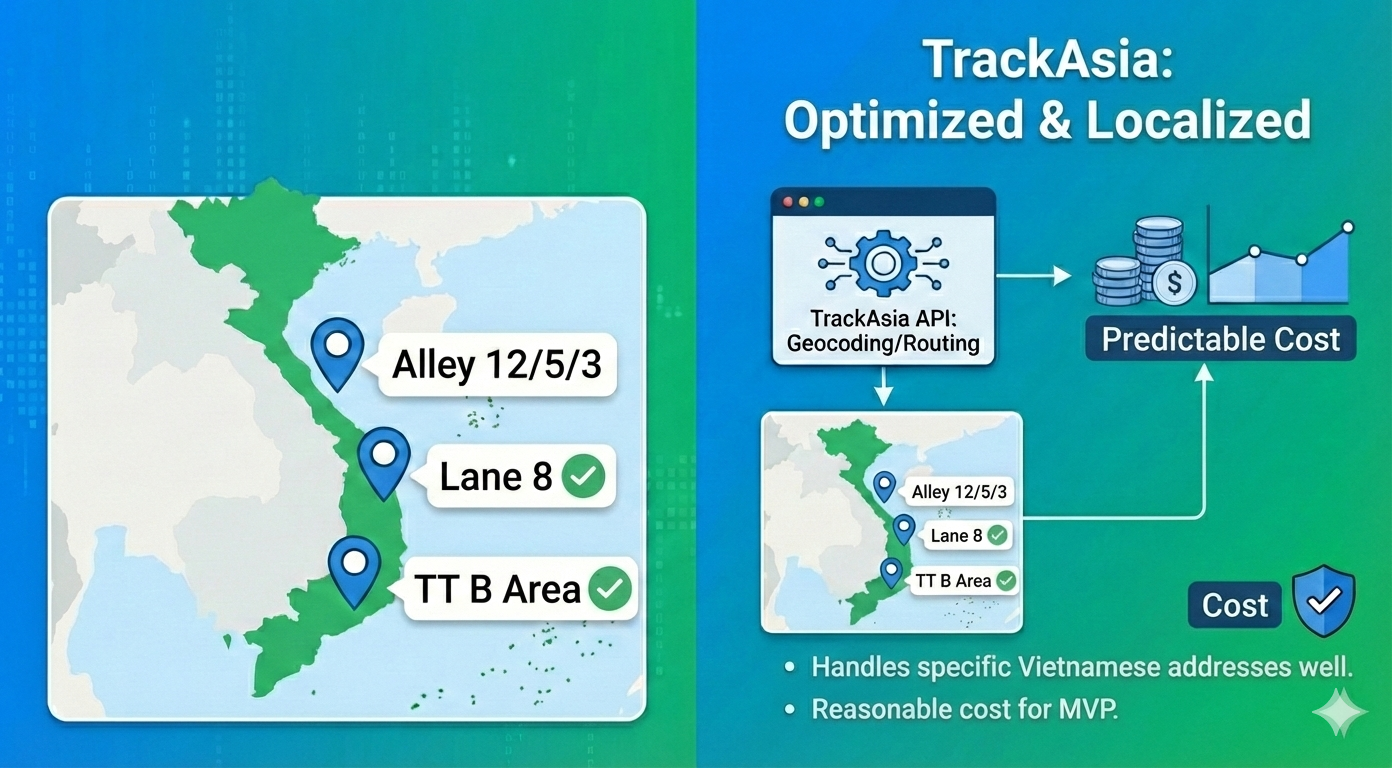
Recognizing the role of digital maps in the digital transformation of Vietnam's logistics industry as mentioned in the sections above, the Track-Asia digital map platform was created to meet the needs of applying information technology suitable for the characteristics of each Vietnamese transport enterprise.
Features of Track-Asia:
⦁ Geocoding: converts geocoded addresses to national addresses and converts national
addresses to geocoded addresses that users can understand.
⦁ Distance Matrix: mapping and routing application to calculate time, distance,
and routes for multiple transport vehicles.
⦁ Autocomplete: search function combined with automatic suggestions to help
users find accurate and relevant locations.
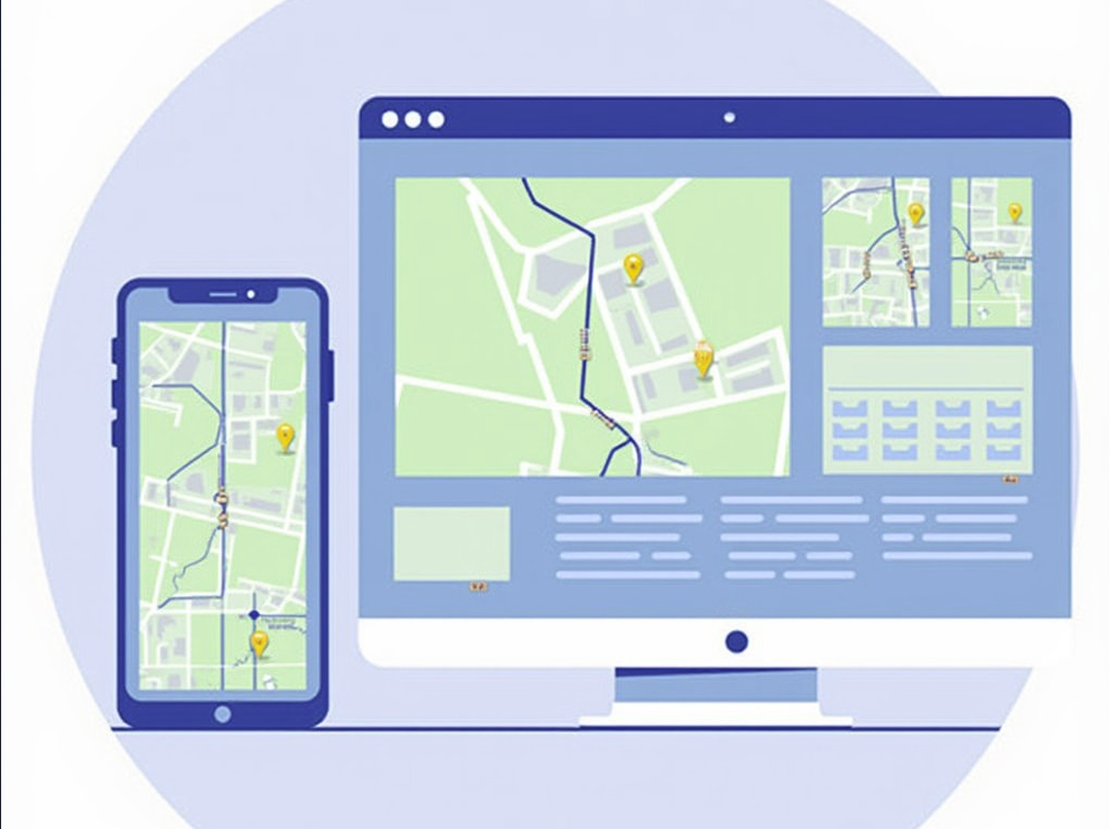
⦁ Map view: detailed and optimized map display according to transmission. Compatible with all
different types of devices such as Web/Mobile.
⦁ Routing: navigation and mapping refer to the process of determining the best or
optimal route between two or more locations.
⦁ Mobile SDK: SDK simplifies the development process by providing built-in functions
that can be easily integrated into applications quickly.
From the above features of Track-Asia, logistics companies can integrate into
their app or website to perform the following transport monitoring features:
❖ Helps businesses and customers easily manage and monitor order routes.
❖ Monitor order status and driver location visually on the map through
the system and app
❖ Monitoring system, notifying the actual transport status if there are any issues including:
driver change, vehicle change, sub-route change, route reversal, etc.
 English