North–South Expressway Connected from Cao Bang to Ca Mau: Vietnam’s Transportation Map Enters a New Phase
In the final days of 2025, Vietnam’s transport infrastructure reached a historic milestone:
the entire North–South Expressway from Cao Bang to Ca Mau was officially opened to traffic, forming a continuous road corridor of more than 3,500 kilometers spanning the length of the country.
This achievement is not only a major success for the construction and transportation sectors, but also represents a fundamental transformation of Vietnam’s mobility landscape, logistics network, tourism development, and regional economic growth for years to come.
According to the Ministry of Construction, as of December 19, 2025, Vietnam has completed and technically opened 3,188 km of main expressway routes, along with 325 km of interchanges and access roads, bringing the total connected expressway network to 3,513 km.
Many component projects under the 2021–2025 phase were completed 3–6 months ahead of schedule, with some sections finishing 8–9 months early.
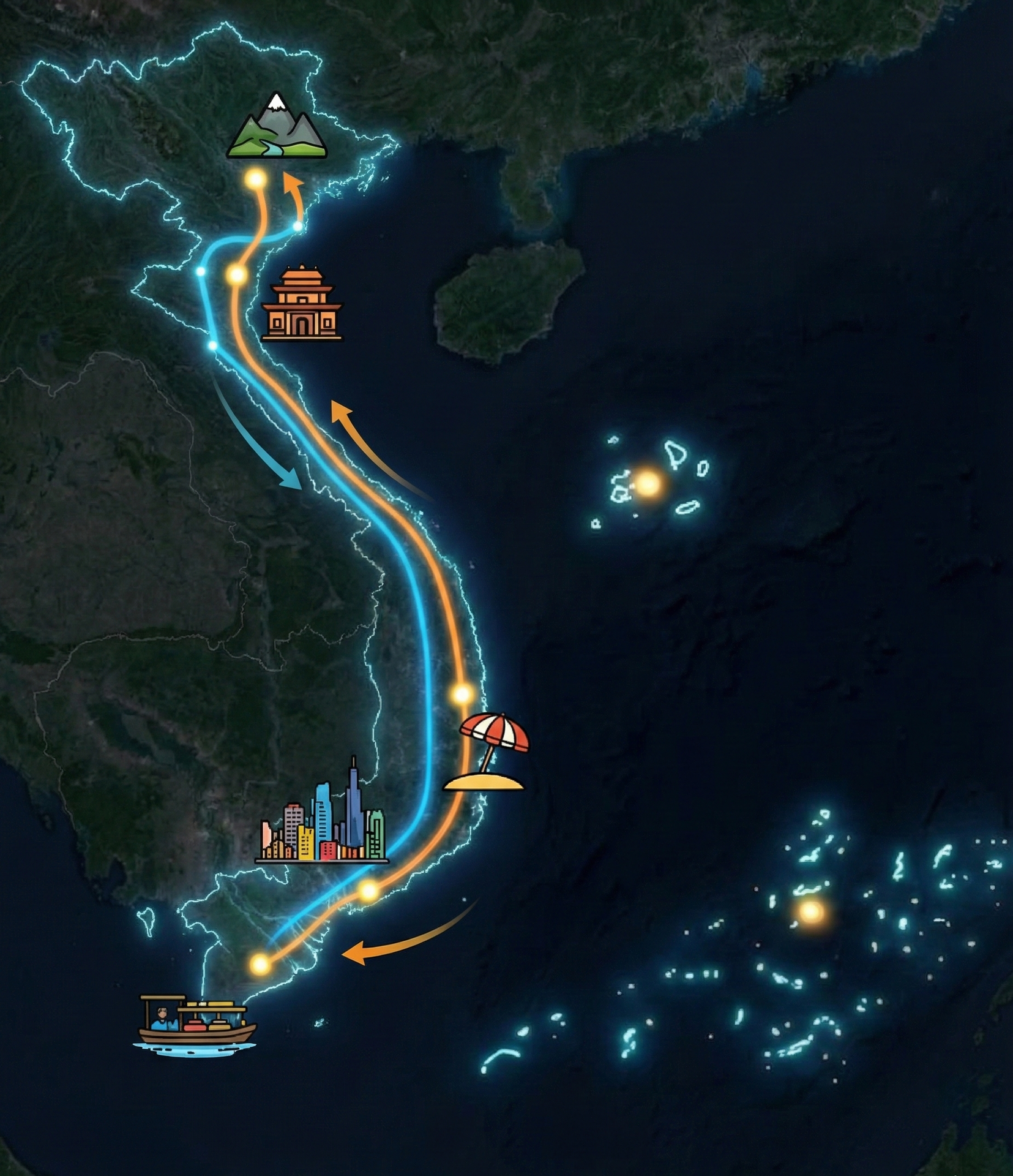
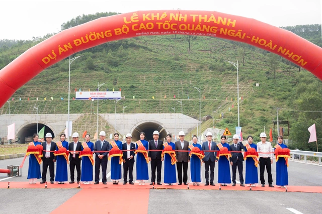
Routes such as Bai Vot – Ham Nghi, Vung Ang – Bung, Van Phong – Nha Trang, Quang Ngai – Hoai Nhon, and Can Tho – Ca Mau are no longer bottlenecks on the national transport map. Instead, they have become strategic connectors that significantly shorten travel time between regions.
In practice, the journey from Ho Chi Minh City to Nha Trang now takes only 5–6 hours by car. Trips from Ho Chi Minh City to Soc Trang or Ca Mau are no longer plagued by prolonged congestion, especially during peak travel seasons. The expressway network has reshaped how people choose to travel—particularly during holidays and Lunar New Year, when airfares tend to surge.

Expressways do more than simply enable faster travel; they unlock new development opportunities for provinces along the North–South corridor.
For the tourism sector, a fully connected expressway network allows travel companies to redesign road-based tour products, extend visitor stays, and provide deeper access to local culture. Road trips during holiday seasons are gradually emerging as a new trend, partially replacing travel that once relied almost entirely on aviation.
From an operational perspective, new expressways enable tour operators to design short-duration road tours more efficiently, optimizing stopovers and travel time. This is only feasible when digital maps accurately reflect expressway routes, entry and exit points, and local connections in near real time.
For logistics and freight transport, expressways deliver tangible benefits:
Reducing North–South transport time to approximately 24–28 hours per trip
Lowering fuel costs, which account for nearly one-third of total operating expenses
Reducing accident risks by minimizing intersections and improving traffic flow
According to the Ministry of Construction, the North–South transport corridor now connects 74% of seaports, 75% of economic zones, and 16 out of 23 airports, handling around 65% of the country’s freight volume.
For fleet management platforms, a seamless expressway network means dispatch algorithms can significantly reduce errors in travel time and distance estimation. Continuously updated transportation maps become the foundation for route optimization, driver scheduling, and vehicle utilization efficiency.
The completion of the North–South Expressway also introduces a new requirement:
digital maps and traffic data must keep pace with physical infrastructure.
Thousands of kilometers of new expressways, hundreds of interchanges, and multiple longitudinal and transverse connections now in operation require mapping platforms to:
Rapidly and accurately update new road segments
Correctly reflect traffic flows and expressway entry/exit points
Support businesses in optimizing routes, costs, and operational time
In this context, TrackAsia is focused on developing a comprehensive Map API ecosystem to meet the growing demands of businesses in logistics, transportation, tourism, and technology.
The completion of the North–South Expressway provides a critical foundation for navigation, routing, and traffic data analytics applications to deliver real-world value at scale.
After more than two decades of efforts to eliminate expressway gaps, Vietnam is entering a new phase—one defined by seamless connectivity, efficient utilization, and the digitalization of transportation infrastructure.
This new phase enables:
Activation of horizontal economic development corridors
Restructuring of logistics and tourism maps
Growing demand for accurate, continuously updated transportation and mapping data
Once physical connectivity is achieved, the development challenge no longer lies in building more roads, but in how those roads are leveraged through precise digital maps and real-time traffic data.
This article is compiled from official sources on transportation infrastructure, combined with real-world perspectives from citizens and businesses.
 English