High-accuracy, high-performance digital map APIs that are easy to integrate for businesses and developers. Connect intelligent maps to your product in just a few integration steps.
High-accuracy, high-performance digital map APIs that are easy to integrate for businesses and developers. Connect intelligent maps to your product in just a few integration steps.

Convert addresses to geographic coordinates
 Speed < 50ms
High accuracy
Multi-format support
Speed < 50ms
High accuracy
Multi-format support
Create static map images with custom markers
HD quality
Custom style
Watermark-free
Smart and automatic address suggestions
Fast suggestions
AI-powered ranking
Bandwidth efficient
Find optimal routes and compute directions
Multi-modal
Traffic-aware
Alternative routes
Compute distances and travel times
Batch processing
Logistics optimization
Matrix results
Optimize routes for fleets and logistics
VRP algorithms
Save up to 30% costs
Real-time tracking
Optimize transport routes and manage fleets efficiently
Save 30% fuel costs
Reduce delivery time by 40%
Real-time tracking

Display property locations and nearby amenities
Increase user engagement by 50%
Highlight nearby amenities
Smart location evaluation

Integrate map features into mobile apps
Setup in 10 minutes
Smart autocomplete
Low initial cost

Manage administrative boundaries and local datasets
2025 updated administrative boundaries
Backward compatibility
High security for government agencies
Reduced development time
Increased operational efficiency
Businesses trust us
Uptime guaranteed
Volume level
(per 1,000 requests)
TrackAsia
Local MAP API
Load Maps / Mapview
Below 200,000đ
0đ
78.000đ
200.001đ - 500.000đ
0đ
71.500đ
500.001đ - 1.000.000đ
10.000đ
68.500đ
Search / Autocomplete / Geocoding / Reverse
Below 200,000đ
15.000đ
45.000đ
200.001đ - 500.000đ
14.000đ
34.500đ
500.001đ - 1.000.000đ
12.000đ
32.500đ
Routing / Distance Matrix
Below 200,000đ
17.000đ
80.500đ
200.001đ - 500.000đ
16.000đ
70.500đ
500.001đ - 1.000.000đ
15.000đ
60.500đ
Volume level
(per 1,000 requests)
TrackAsia
Global MAP API
Load Maps / Mapview
Below 200,000đ
0đ
145.824đ
200.001đ - 500.000đ
0đ
145.824đ
500.001đ - 1.000.000đ
10.000đ
145.824đ
Search / Autocomplete / Geocoding / Reverse
Below 200,000đ
15.000đ
73.293đ
200.001đ - 500.000đ
14.000đ
59.911đ
500.001đ - 1.000.000đ
12.000đ
59.911đ
Routing / Distance Matrix
Below 200,000đ
17.000đ
130.200đ
200.001đ - 500.000đ
16.000đ
104.160đ
500.001đ - 1.000.000đ
15.000đ
104.160đ
Criteria
TrackAsia
Local MAP API
Global MAP API
Cost (1,000 requests)
15.000đ
74.000đ
145.824đ
Local data coverage depth
Deep and broad
Deep and broad
Average
Technical support channels
Chat / Mail / Hotline
Chat / Mail / Hotline
Email / Ticket
Administrative boundary updates 2025
Fast
Fast
Slow
Payment model
Diverse
Many options
Visa only
Extended services
On-demand
Many
None
|
Query Count |
Under 200.000 |
200.001 to 500.000 |
500.001 to 1.000.000 |
Over 1.000.000 |
|---|---|---|---|---|
|
MapTiles |
0đ |
0đ |
1đ |
1đ |
|
Search / Autocomplete |
15đ |
14đ |
12đ |
10đ |
|
Geocoding / Reverse |
15đ |
14đ |
12đ |
10đ |
|
Routing / Distance |
17đ |
16đ |
15đ |
12đ |
|
VRP |
38đ |
36đ |
32đ |
28đ |
Supports exchanging geocode and router query ratios · Billing cycle based on usage days, no need to worry about when your plan starts
Includes services
Geocoding API
Static Maps API
Autocomplete API
Routing API
Distance Matrix API
 Geo tool
Satellite
Geo tool
Satellite
Related documentation
Max zoom level 15
Navigation and satellite maps
Places / addresses / amenities / companies
3 months technical support
Includes services
Geocoding API
Static Maps API
Autocomplete API
Routing API
Distance Matrix API
Geo tool
Satellite
Related documentation
Max zoom level 16
Navigation and satellite maps
Places / addresses / amenities / companies
3 months technical support
Includes services
Geocoding API
Static Maps API
Autocomplete API
Routing API
Distance Matrix API
Geo tool
Satellite
Related documentation
Max zoom level 15
Navigation and satellite maps
Places / addresses / amenities / companies
3 months technical support
Includes services
Geocoding API
Static Maps API
Autocomplete API
Routing API
Distance Matrix API
Geo tool
Satellite
Related documentation
Max zoom level 16
Navigation and satellite maps
Places / addresses / amenities / companies
3 months technical support
Geospatial data constantly evolves, so our systems continuously update the latest information to ensure accuracy.
In addition, we provide tools that help businesses easily manage and organize their geospatial data. This includes data access control and management capabilities.
Information security is a top priority; features like data encryption, access control, and permission management are integrated to safeguard your organization’s geospatial information.

We turn raw data into accurate maps, standardize addresses, remove duplicates, and correct location errors so you can trust every geo decision.
Supports export to GeoJSON, Shapefile, KML, CSV, and integrates easily with internal systems or your APIs. Regular data updates and customizable layers to fit your needs: routes, POIs, administrative boundaries.
Suitable for transport companies, location-based apps, real estate, and government agencies, optimizing costs and enhancing user experience.
Customize & integrate on demand
Cross-platform support
Easy integration
Flexible customization
Standardized formats
Geospatial data constantly evolves, so our systems continuously update the latest information to ensure accuracy.
In addition, we provide tools that help businesses easily manage and organize their geospatial data. This includes data access control and management capabilities.
Information security is a top priority; features like data encryption, access control, and permission management are integrated to safeguard your organization’s geospatial information.
For enterprises
Cost-effective
Up-to-date data, optimal efficiency
Flexible customization
Data security
Type a few characters to get instant suggestions
No results yet — enter an address to try

Step-by-step guides for every programming language
                            GET /api/v2/place/textsearch/json

                            Params: language=vi, key=YOUR_API_KEY, query="Landmark 81,TP.HCM", new_admin=true, include_old_admin=true

                            Content-Type: application/json
Fully supports both old and new addresses according to the latest administrative decisions
new_admin=true
Use new boundaries
include_old_admin=true
Include old addresses

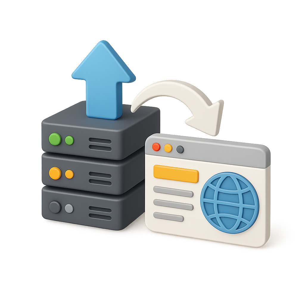
TrackAsia provides a full set of APIs:
Yes. From July 1, 2025, TrackAsia has updated the new administrative boundaries. You can add new_admin=true to get new addresses, or new_admin=true&include_old_admin=true to show both new and old addresses side by side.
TrackAsia API/SDK support most popular platforms today such as Web, React, Flutter, iOS, Android. This ensures easy and flexible integration for developers across the platforms and languages they use.
TrackAsia focuses on domestic maps with reasonable costs, data optimized for Vietnam addresses and traffic, and fast response times thanks to servers located in Vietnam. In addition, our engineering team is ready to support, offering more flexibility than international map services.
Yes, our APIs are designed to be compatible and allow easy migration from other providers.
Yes, statistics track traffic, query counts, and usage by day and month.
Absolutely no hidden fees. Prices are publicly listed and transparent. You pay only for what you use—no setup fees, cancellation fees, or any other additional charges.
There is no minimum requirement for the Pay-as-you-go plan. For subscription plans, you can start from the M1 package with 100,000 requests/month. If unused, requests do not carry over to the next month.
TrackAsia APIs support JSON (default), XML, and GeoJSON. All APIs follow REST standards and can be easily integrated with popular programming languages such as JavaScript, Python, PHP, Java, and .NET.
When you approach quota, the system will send an email alert when only 10% remains.You can choose:
(1) Auto payment
(2) Pause API and resume next month, or
(3) Contact us to upgrade your plan or purchase additional quota at a discounted rate.
All TrackAsia APIs use HTTPS with TLS 1.3 encryption. We provide API key authentication, IP whitelisting, and OAuth 2.0 support for enterprise. Data is not stored or shared with third parties.
It's simple:
(1) Sign up for a free account
(2) Get your API key from the dashboard
(3) Test with 1000 free requests
(4) Integrate into your application. The whole process takes only 10–15 minutes.

Quick signup – automatic activation, try immediately, free trial credits.
 Vietnamese
