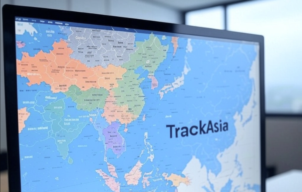
The Static Maps feature delivers high-resolution, static map images, ideal for integration into reports, websites, and mobile applications. TrackAsia’s maps offer precise geospatial data, including accurate locations, routes, and specific areas, making them perfect for professional presentations and visual storytelling.
Geocoding is an indispensable tool that converts addresses into geographic coordinates (latitude and longitude) or vice versa. This feature is crucial for businesses needing accurate and timely logistics management or customer location services.
The Autocomplete feature streamlines the search process by providing predictive location suggestions. As users type keywords, the system dynamically suggests relevant addresses and landmarks, significantly reducing input errors and saving time.
The Routing feature identifies optimal routes between designated points while accounting for variables such as real-time traffic conditions, vehicle types, and route restrictions. This functionality is invaluable for transport and logistics operations aiming to improve efficiency.
The Distance Matrix provides comprehensive data on distances and estimated travel times between multiple locations. This feature serves as the foundation for strategic transport planning, route optimization, and cost-saving initiatives for businesses.
The VRP module addresses complex vehicle routing optimization by considering parameters such as load capacity, delivery time windows, and fleet size. It is an excellent tool for logistics companies looking to refine their operational strategies.
GEO-TOOL is an advanced geospatial data analysis suite that allows users to customize and manipulate maps to meet specific requirements. It supports features like area demarcation, distance calculations, and impact zone analysis, empowering data-driven decision-making for businesses.
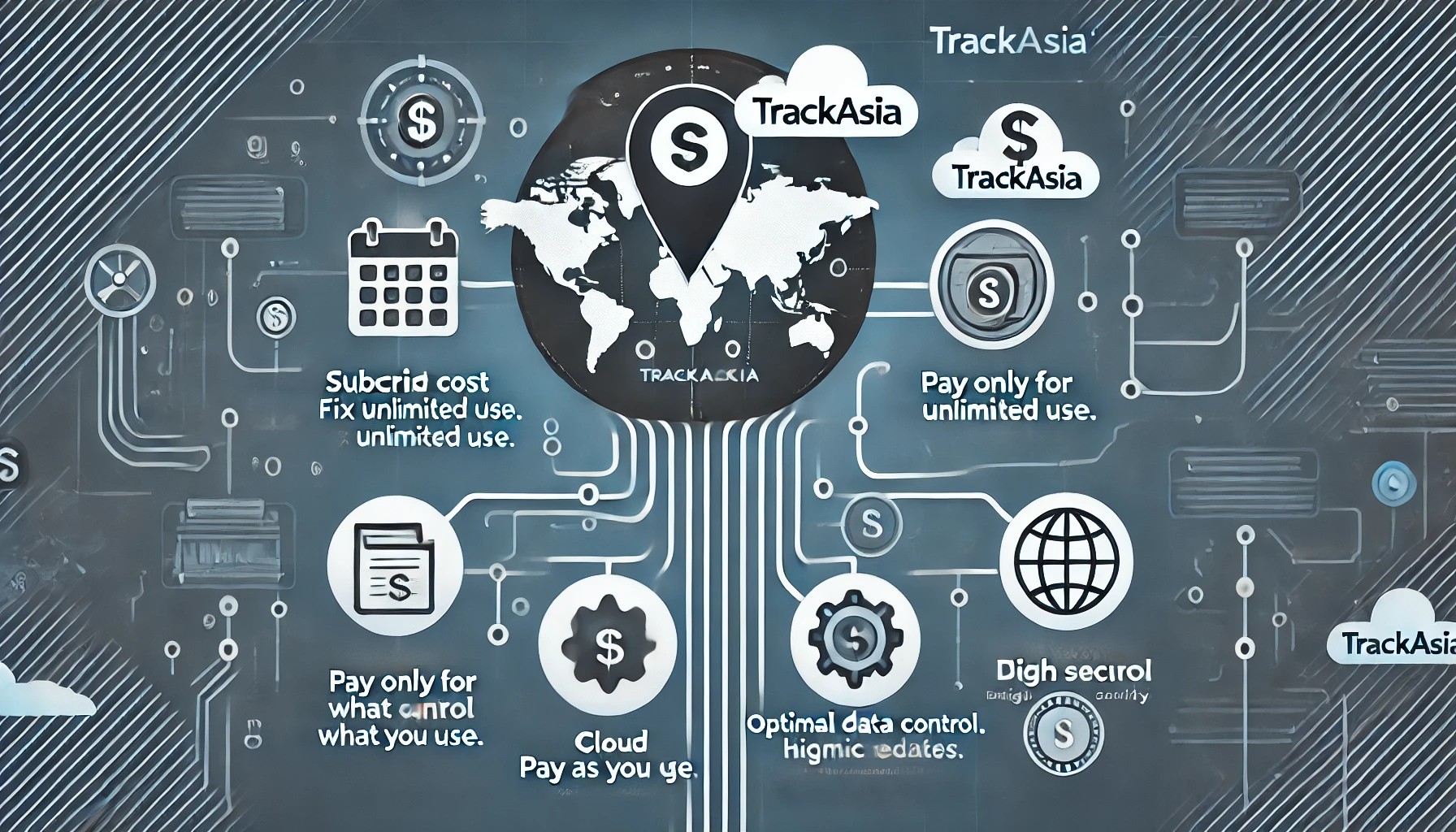
Why Choose TrackAsia?
TrackAsia is more than just a digital mapping platform; it’s a critical tool for businesses to optimize operations and gain a competitive edge. With standout features like Static Maps, Geocoding, Autocomplete, Routing, Distance Matrix, VRP, and GEO-TOOL, TrackAsia provides comprehensive solutions to enhance business efficiency.
Discover how TrackAsia can support your business by visiting TrackAsia.vn today!
----------------------------------------------
TRACK-ASIA DIGITAL API MAP
🏢 Address: Billion Ways Building, 15A Võ Văn Kiệt, Ward 16, District 8, Ho Chi Minh City
📞 Phone: 093.182.4182 / 0906.753.438 / +84.0816510073
📧 Email: [email protected]
🌐 Website: https://track-asia.com/
#apimapsolution #TrackAsia #BusinessMapping #digitalapimap
Moving this industry forward requires not only skill, talent and expertise, but also imagination. From all of us.
 Vietnamese