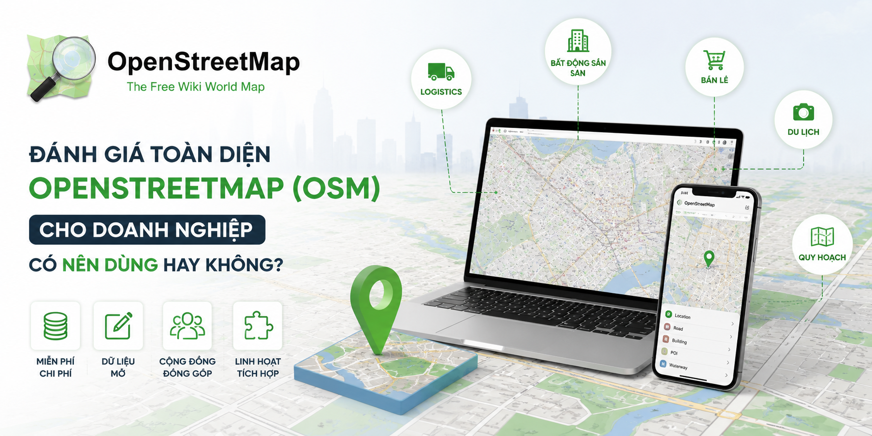
Over the years, OpenStreetMap (OSM) has become one of the most critical open-source geographic data platforms in the world. With its open approach, vast community contributors, and high customizability, OSM is increasingly being considered by businesses as a viable alternative to expensive proprietary map platforms.
However, the key question is not just "Is OpenStreetMap free?", but rather "How should a business deploy it—via Free Cloud or Self-hosting—and what is the actual economic math?". To answer this, let's analyze the deployment models, their pros and cons, operational costs, maintenance, and long-term scalability in detail.
Key Takeaway: OSM is an excellent solution to avoid vendor lock-in and optimize map data licensing costs. However, the choice of deployment model—whether using public Free Cloud servers or self-hosting private servers—comes with significant trade-offs in terms of performance, maintenance overhead, and long-term reliability.
OpenStreetMap is a collaborative, open-source mapping project built by a global community. Unlike proprietary map platforms that package their data into closed APIs and bill on a per-query basis, OSM gives businesses direct access to raw spatial data under the ODbL license. This data can be processed, rendered, and integrated into internal services (such as routing, geocoding, and map visualization) to solve specific business problems.
When implementing OSM in production, businesses generally choose between two core infrastructural paths:
Connecting applications directly to public servers hosted by the OSM Foundation (like tile.openstreetmap.org) or using the free tiers of third-party cloud mapping providers.
Building your own server environment (on-premise or renting Cloud VMs on AWS, GCP, DigitalOcean) to install open-source GIS software (PostgreSQL/PostGIS, Tile Server, Nominatim for Geocoding, OSRM/Valhalla for Routing) and importing raw OSM data.
| Criteria | Public Free Cloud | Self-hosting (Self-host) |
|---|---|---|
| Upfront Infrastructure Cost | Zero ($0) | Very High (Server hardware or high-tier Cloud VMs) |
| Long-term Operational Cost | Zero ($0) | High (Monthly hosting fees + Engineering salaries) |
| Query Limits (Scale) | Very Low (Risk of IP block under heavy load) | Unlimited (Bound only by your server capacity) |
| Response Latency | Slow & Unpredictable (Third-party dependent) | Fast & Stable (With proper caching and optimization) |
| Data Customization | Extremely limited | Fully customizable based on business needs |
| Information Security | Low (Requests sent over the public internet) | Absolute (All requests processed internally) |
| Required Engineering Talent | Basic Frontend Developer | GIS Experts, Database Admins, and DevOps Engineers |
Many businesses opt for Self-hosting due to data security and scale, but often struggle with the operational realities of GIS systems:
Businesses must recognize: The OpenStreetMap dataset is free, but the infrastructure needed to turn it into an enterprise service is not.
| Cost Component | Free Cloud Model | Self-host Model |
|---|---|---|
| Data License | $0 | $0 |
| Server & Network Bandwidth | $0 | $500 - $3,000+/month (scaled with traffic) |
| Engineering Staff (GIS & DevOps) | $0 | Very High (Salaries for mapping specialists) |
| Opportunity Cost / Downtime Risk | Very High (Loss of revenue if public servers fail) | Medium (Depends on internal incident response capabilities) |
| Time-to-market | Instant (1-2 days integration) | Slow (3-8 weeks setup, tuning, and QA testing) |
Faced with two conflicting options—using a Free Cloud with low performance and poor security, or Self-hosting with massive infrastructure and labor overhead—businesses need a middle ground.
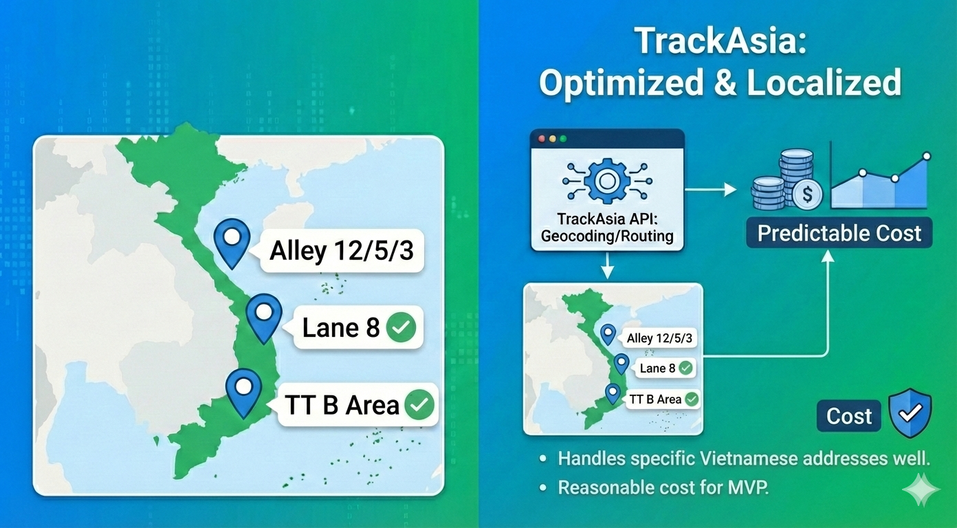
TrackAsia bridges this gap by offering a Managed Enterprise Map Platform built on OpenStreetMap:
OpenStreetMap is an invaluable geographic data resource. However, choosing between self-hosting and public free cloud options requires careful evaluation of your Total Cost of Ownership (TCO) and internal engineering capabilities.
If your business needs a reliable, secure, and rapidly deployable map platform without the burden of expensive server management and GIS maintenance, look to TrackAsia to power your location services.
This analysis is tailored for enterprises in logistics, mobility, delivery, real estate, retail, fintech, and digital platforms looking for scalable, secure, and cost-effective mapping solutions over the long term.
Moving this industry forward requires not only skill, talent and expertise, but also imagination. From all of us.

 Vietnamese